|
CONTOUR MAP OF TAL-E MALYAN |
||
 |
|||
|
The Malyan excavation units, called "operations," are located on a grid made up of 10x10 m squares beginning with Operation A. The north-south position of operations is indicated alphabetically and the east-west position is indicated numerically. There are four large operations, composed of from 4 to 10 10x10 m squares that have abbreviated designations: ABC, EDD, GHI, and TUV. There are seven individual 10x10 m operations: A63, BB33, F26, FX106, GGX98, XX, and Z46. Finally, there are several smaller operations BY8, EE16, X65, and Test Trenches C through F. Malyan, including the flat area in the NE corner of the city wall mound, covers some 200 hectares (494 acres). The main occupation mound, including all excavation operations except TUV, covers about 130 hectares (321 acres). During five field seasons (330 days) we were able to complete a topographical survey of the site, conduct a cesium magnetometer survey covering some 4 hectares, complete a systematic surface pick-up covering 90% of the mounded area of the site, and open excavations in an aggregate area of about 3 hectares to depths ranging from less than 1 m to 8 m. |
||
 |
|||||
 |
|||||
|
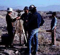
Set up to survey the location of a new operation on the site grid, September 1976. |
|||||
|
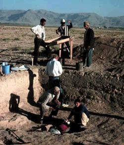
Excavation of a stratigraphic sounding near the NW corner of Operation XX |
||