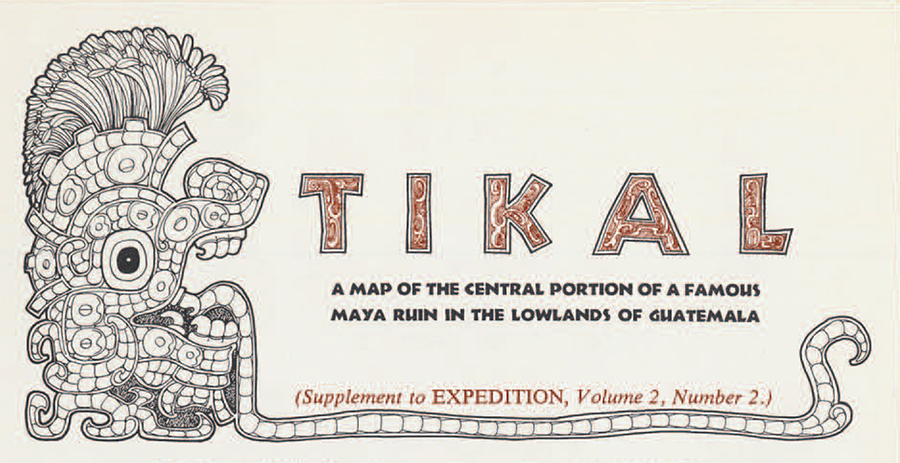
Mapping at Tikal has been going on since the 1957-58 season. It is a slow, difficult job, made so by the uneven terrain, the vast number of mounds and still standing structures, and the heavy jungle. This map, designed by Aubrey trik and drawn by Norman J. Johnston of the School of Fine Arts of the University of Pennsylvania, is based on a detailed topographic survey that is still in progress. It shows only a small part of the whole site but includes the heart of the ceremonial area, the Great Plaza and the five “great temples” (numbered in Roman numerals) which tower above the highest trees.
Four principal causeways, probably for ceremonial processions, link the Great Plaza area with outlying architectural groups. They are named for the modern discoverer of Tikal, Modesto Mendez, Governor of Peten, who founded the site in 1848, and for three great archaeologists who made observations there many years ago–Teobert Maler, Alfred Percival Maudslay, Alfred M. Tozzer.
As impressive and interesting as the ruins, is the tropical forest that surrounds them, especially for those botanically or ornithologically inclined. It is not advisable to leave the roads or trails, unless one knows the site intimately, but it is fascinating to walk the trails in search of birds and monkeys. At Tikal archaeology contributes uniquely to the pleasure of the naturalist for, from the Great Temple and the palaces overlooking the ravine south of the Great Plaza, the treetops are exposed to his view, making possible close-up observations of the innumerable hummingbirds, grotesque toucans, parrots, and dozens of other birds. A visit to Tikal means much more than a quiet look at the ruins to make it complete.
Additional copies of map, not folded, may be obtained from The University Museum; price, fifty cents.