Object Location Map
Browse and discover collection objects from across the globe with the Object Location Map.
Geocoded Locations
 100+ Locations
 10+ Locations
 < 10 Locations
 Single Location
Object cataloging contains place names which are geocoded for display on a map. Click on a location indicator pin or circle to zoom into that area. You can refine your search down to a specific place name. Click the place name link to see objects in the online collections associated with that place.
Please note this map does not capture all Museum objects. Some place name data is either too broad (Asia) or too specific (altar) to geocode. Over 92% of the collection is geocoded here, and you can use collections search to browse and filter on other cataloging information.
Questions/Comments please email digitalmedia@pennmuseum.org
All work on this Object Location Map was done by Michael W. Condiff of the Penn Museum.
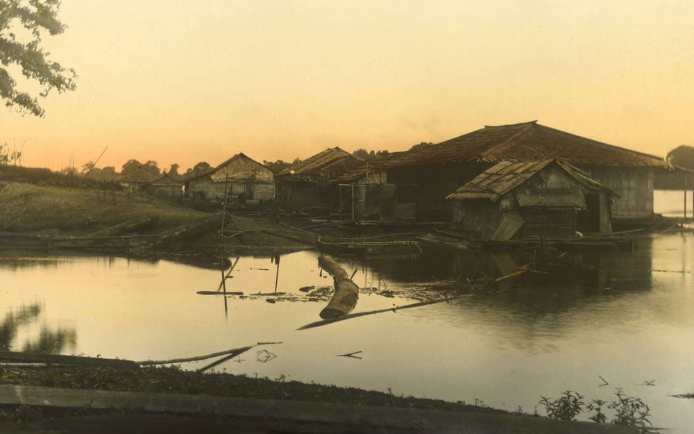
Borneo
The island of Borneo sits off the coast of Southeast Asia and is divided among the countries of Malaysia, Indonesia, and tiny Brunei. Between 1896 and 1898, several collecting expeditions to Borneo were undertaken. They spent six months in Sarawak, traveling upriver to Dayak longhouses, they undertook an expedition to Dutch West Borneo, spending several months on the Kapuas River, and then they visited the Mahakam River in Dutch East Borneo.
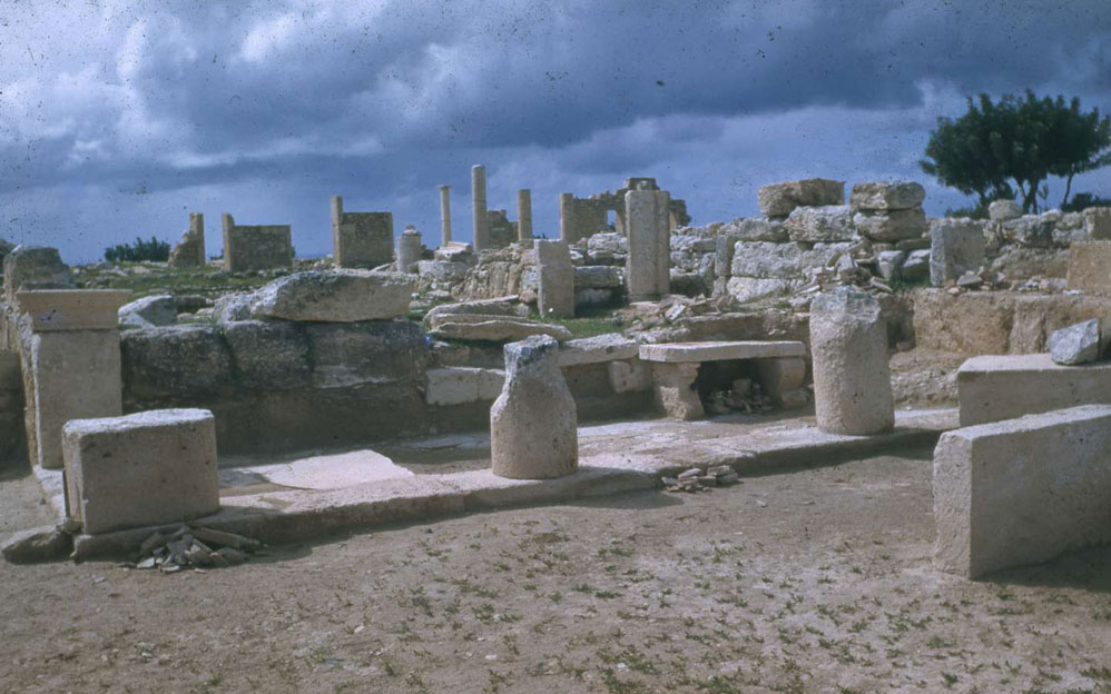
Kourion, Cyprus
The island of Cyprus is located in the eastern Mediterranean Sea to the south of Turkey and west of Syria, Lebanon, and Israel. During the 20th century, the Penn Museum excavated at a number of locations in Cyprus. The site of Kourion resulted in some 2,000 objects coming to the Museum as a result of a division of finds with the Cyprus Department of Antiquities.