Search Collections
- Object[180]
- yes[180]
- no[180]
- american[180]
- disc[4]
- pottery smoother[1]
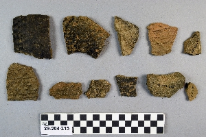
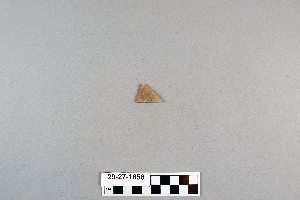
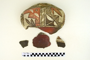
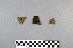
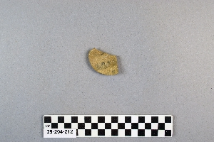
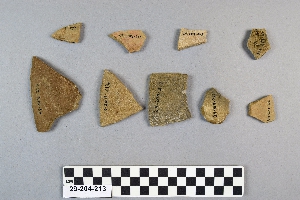
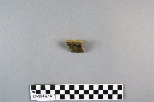
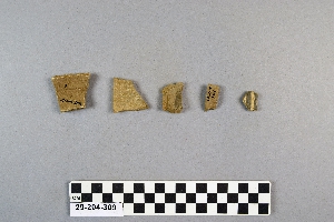
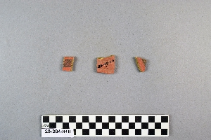
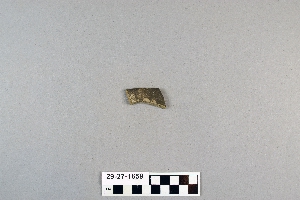
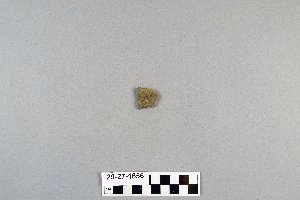
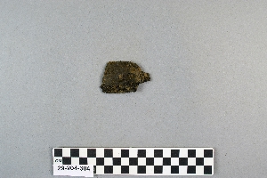
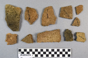
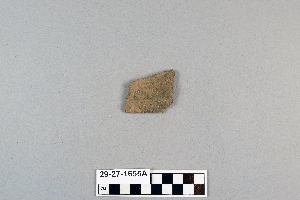
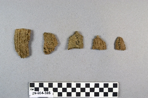
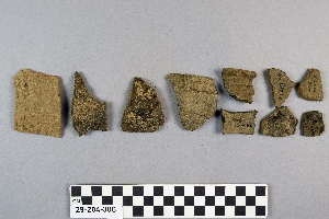
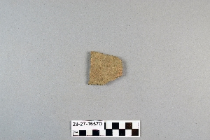
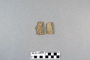
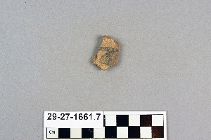
- sherd[180]
- acoma[1]
- anderson canyon[1]
- anderson lake[1]
- bates road[2]
- dark canyon[1]
- eddy county[23]
- fanny jones ranch[7]
- gilson canyon[1]
- kroenig ranch[5]
- last chance canyon[3]
- lincoln national forest[3]
- mescal pit[3]
- mora river[7]
- near alamogordo[61]
- near carlsbad[13]
- near clovis[1]
- near la luz[19]
- new mexico[180]
- otero county[80]
- pecos[8]
- pecos pueblo[1]
- pecos river[1]
- pueblo mound[5]
- rocky arroyo[2]
- sandrock cave[2]
- sawyer canyon[1]
- shattuck cave[3]
- tecolote[53]
- united states of america[180]
- upper rocky arroyo[4]
- watrous[12]
- zuni pueblo[1]
- pueblo iv[1]
- 1 1/2' - 2' under surface of rear of cave.[1]
- anderson lake, about 15 mi. s.e. of clovis. from sand dune along edge of lake.[1]
- depth c. 15 in.[1]
- depth c. 18 in.[1]
- from cave in upper rocky arroyo, west of carlsbad, n.m.[1]
- from cave in upper rocky arroyo, west of carlsbad, n.m. powers tank[1]
- mescal pit in small canyon north of dark canyon near carlsbad, n.m.[1]
- sand "blow out" 20-25 miles northeast of carlsbad; from surface[1]
- sand "blowout" 20-25 miles northeast of carlsbad[6]
- subsurface[1]
- surface[1]
- surface collection[80]
- surface site 2 miles south of la luz[1]
- surface, rocky arroyo, near bates road west carlsbad, n.m.[1]
- walled cave rocky arroyo seep 50-60 miles west of carlsbad[1]
- west of carlsbad. from pit in rock shelter[1]
- chipped[1]
1 - 30 of 180 Records

1 - 30 of 180 Records