Search Collections
- Object[267]
- yes[267]
- no[267]
- american[267]
- blade[9]
- drill[5]
- engraver (engraving tool)[5]
- flake[4]
- flint[1]
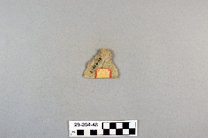
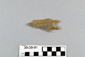
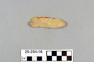
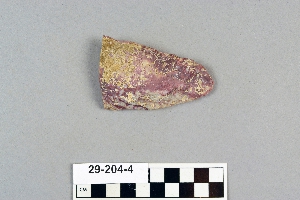
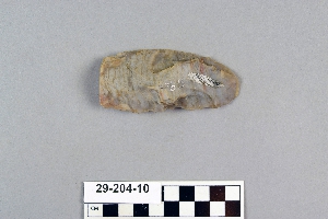
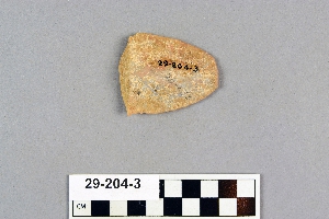
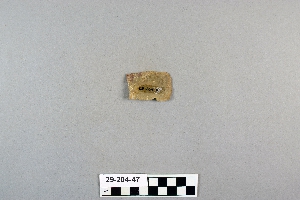
- knife[194]
- lithic[1]
- paint cup[1]
- point[8]
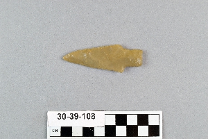
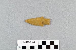
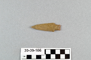
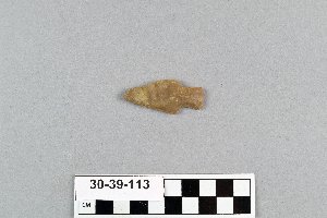
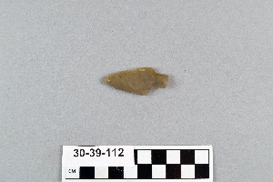
- projectile point[187]
- scraper[32]
- spear point[1]
- tool[2]
- abilene[7]
- alibates creek[23]
- bivens estate ranch[23]
- blowout mountain[14]
- brazos river[2]
- canadian river[21]
- clear fork[2]
- elgin[184]
- elgin island[1]
- elm creek[8]
- georgetown[3]
- gulf of mexico[7]
- hawley[2]
- high terrace[5]
- ingleside cove[2]
- jones county (texas)[2]
- laguna madre island[5]
- live oak peninsula[2]
- near abilene[20]
- nueces county[9]
- nugent[2]
- padre island[7]
- rectangular pit house[2]
- rincon[1]
- rockport[9]
- salinas creek[2]
- st. charles bay[1]
- taylor county[2]
- texas[267]
- united states of america[267]
- williamson county (texas)[3]
- 1a[1]
- 1a, depth 22 in.[1]
- 24.5 ft. below surface found with charcoal #32.29[1]
- bank of elm creek 7.5 mi. south of abilene[1]
- creek bed of elm creek 7.5 mi. south of abilene[5]
- found in neighborhood of elgin[1]
- from bank along clear fork of brazos river about 2.5 mi. east of hawley, texas, found 20 ft. below surface, just below level of a large mammoth tusk.[2]
- rectangular pit house, 2d/235, 19 in. below surface[1]
- rectangular pit house, 2d/27s[1]
- rectangular pit house, 2d/2b, 15 in. below surface -- at base of humus.[1]
- rectangular pit house, 2d/2s, depth 23 in. among ashes under fragment of stone -- near corner within pit house.[1]
- rectangular pit house, 2d/36s[1]
- rectangular pit house, 2d/38s, in humus[1]
- rectangular pit house, 2d/3b, depth 25 in.[1]
- rectangular pit house, 2d/40s, depth 13 in., on plaster.[1]
- rectangular pit house, 2d/41s, depth 13 in. lying immediately on horizontal plaster.[1]
- rectangular pit house, 2d/49s[1]
- rectangular pit house, 2d/4s[1]
- rectangular pit house, 2d/52s, depth 9 in., above floor in "wash" near platform "break"[1]
- rectangular pit house, 2d/54s[1]
- rectangular pit house, 2d/55s[1]
- rectangular pit house, 2d/57s[1]
- rectangular pit house, 2d/62s[1]
- rectangular pit house, 2d/6b, depth 24 in.[1]
- rectangular pit house, 2d/7s, 21 to 25 in. below surface[1]
- rectangular pit house, 2d/8b, 26 in. below surface[1]
- rectangular pit house, 2d/8s[1]
- rectangular pit house, 2d/?b[1]
- region around rockport[10]
- sand dune surface site near nugent[2]
- site 40 or 41[1]
- surface[4]
- surface near high terrace, 13 mi. south of abilene[1]
- surface site[14]
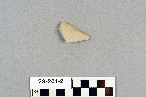
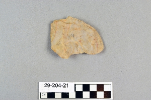
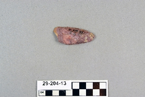
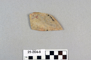
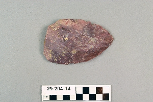
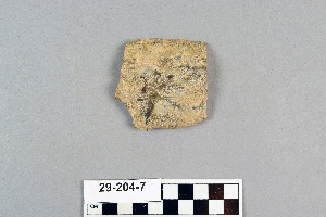
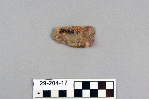
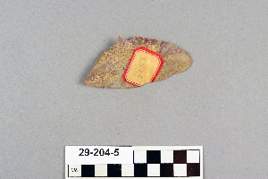
- flint[267]
- chipped[267]
1 - 30 of 267 Records