Search Collections
- Object[57]
- no[57]
- american[57]
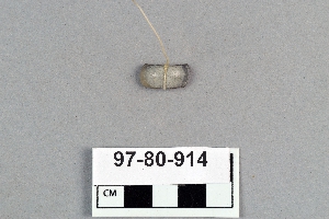
- firemaking set[1]
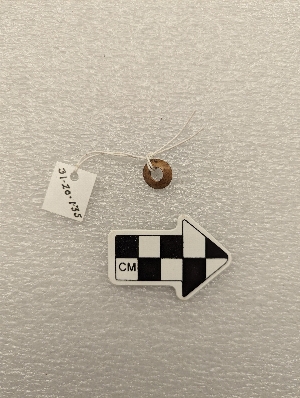
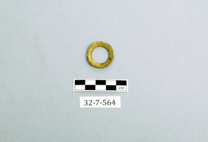
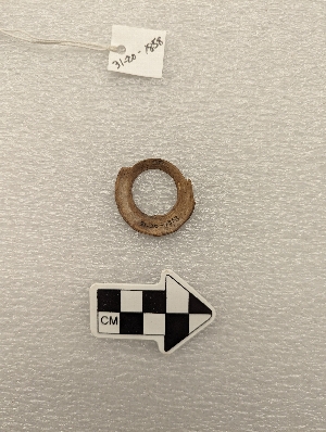
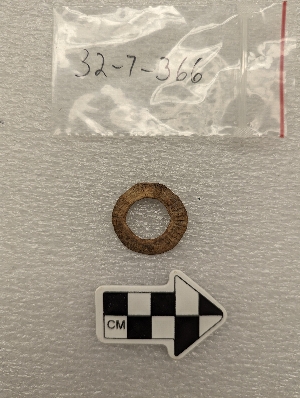
- ring[57]
- adams county (mississippi)[1]
- alaska[47]
- arcata[1]
- california (state)[2]
- canyon[1]
- cape girardeau[1]
- cook inlet[3]
- cottonwood creek (alaska)[2]
- florida[1]
- humboldt county[1]
- illinois[1]
- kachemak bay[2]
- knight island[3]
- mancos river[1]
- mississippi[1]
- missouri[1]
- new mexico[1]
- old town[3]
- passage island[1]
- port graham[1]
- santa cruz island (california)[1]
- seltzertown[1]
- southeastern utah[1]
- southwest colorado[1]
- united states of america[57]
- west of the missouri river[1]
- yakutat bay[3]
- yukon island[40]
- 1 k 5' 6", ii[1]
- 1'3" - 1'9"[1]
- 2 e 6' - 7', ii[1]
- 2 e, 2' - 2' 6", viii (ix?)[1]
- 2 f, 3' - 3' 6", viii (ix?)[1]
- 2e, 1' - 1'6", viii (ix?)[1]
- 2e, 2'6" - 3', viii (ix?)[1]
- 3 h[1]
- 3'9" - 4'3"[4]
- 4 h, 3'6" - 4'[1]
- 4 j, 1'3" - 1'10"[1]
- 4 j, 9" - 1'3"[1]
- 4 j, surface - 9"[1]
- 4 k, 1'6"-2'3"[1]
- 4 k, 3'3" - 3'9"[1]
- 5 h[24]
- 5 k[4]
- 6'6" - 7'[23]
- 8' - 8'6"[1]
- b, 2' 6" - 3', ix[1]
- layer 5a[1]
- layer 6?[23]
- layer 7[1]
- layer 7 or 8[4]
- layer 7 or 9?[1]
- layer 8[3]
- layer 9[1]
- layers 8 and 9[1]
- mound[1]
- mound b, lower level, depth 22"[1]
- mound b, lower level, depth 24", dark sandy midden[1]
- mound b, upper level[1]
- on floor of house?[23]
- perforated[1]
1 - 30 of 57 Records

1 - 30 of 57 Records