Search Collections
- Object[275]
- no[275]
- american[275]
- arrow blade[1]
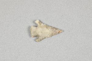
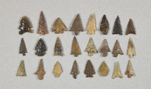
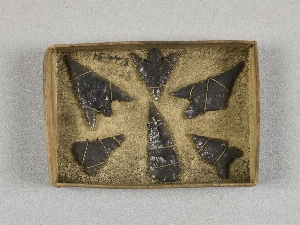
- arrowheads[2]
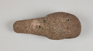
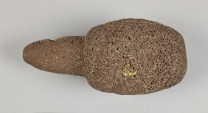
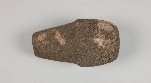
- axe[1]
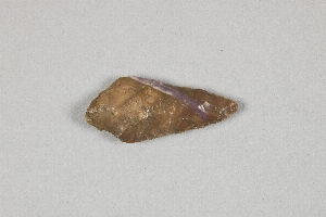
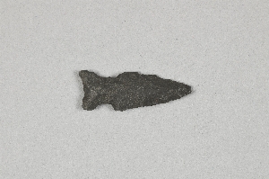
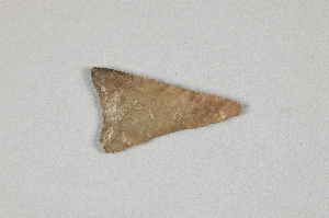
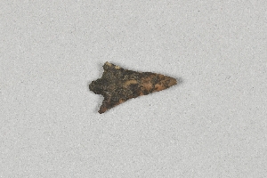
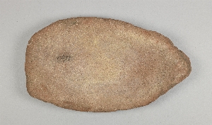
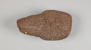
- blade[24]
- blank[1]
- chip[5]
- disc[1]
- drill[5]
- end scraper[2]
- flake[25]
- implement[2]
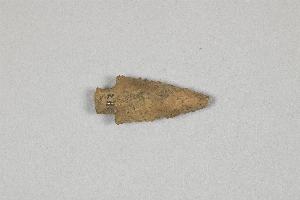
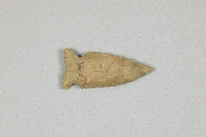
- knife[20]
- lancet[1]
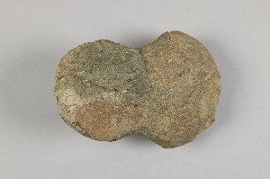
- muller[4]
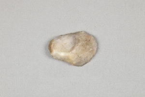
- pebble[4]
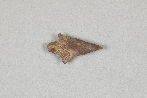
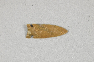
- point[105]
- scraper[29]
- side scraper[2]
- sinker[4]
- slate[1]
- stone[5]
- whetstone[3]
- worked stone[28]
- alaska[84]
- aleutian islands[25]
- attu island[25]
- british columbia[2]
- canada[2]
- columbia river[1]
- cook inlet[2]
- fox farm[2]
- frank fox's place[3]
- holy cross[3]
- kachemak bay[2]
- kenai peninsula borough[1]
- kittitas county[57]
- klickitat county[113]
- little mike point[25]
- lower yukon river valley[3]
- macdonald spit[1]
- north america[1]
- oregon[19]
- point hope[1]
- point spencer[1]
- sixty-foot rock[1]
- southeast coast (alaska)[25]
- the dalles[1]
- unalakleet[39]
- united states of america[143]
- vancouver island[2]
- washington (u. s. state)[170]
- yukon island[13]
- aleut[25]
- chinook[113]
- kachemak bay culture sub-iii[1]
- prehistoric eskimo[4]
- salishan[57]
- 2 d, 5' 8" - 6' 2", vii[1]
- 2 f, 3' - 3' 6", viii (ix?)[1]
- 2 g, 3' - 3' 6", vii or viii[1]
- 4 j[1]
- 6' - 8'[1]
- 6' 10" - 7' 8"[1]
- 7'6" - 8"[1]
- base of macdonald spit, bay side.[1]
- c, 3' - 3' 9", vii[1]
- c, 3' 9" - 4' 3", vii[1]
- d, 4' - 4' 6", vii[1]
- f, 6'6" - 7'3", vi?[1]
- from shell mound[1]
- g, 5' 3" - 5' 9", vi[1]
- h, 10' 6" - 12', i[1]
- h, 11' - 12', i[1]
- house 2[25]
- house 3[14]
- n 0, w 0 - on level which is a continuation of house floor[1]
- n 0.5, w 1- in level which is a continuation of house wall.[1]
- n 0.75, w 0.25 - in level which is a continuation of house wall.[1]
- n 0.75, w 1.5 - on compacted gravel level, continuation of house wall[1]
- n 1, w 0.25 - in level which is continuation of house wall[1]
- n 1, w 1.75 -- house wall continuation[1]
- n 1, w 2.5 - in level which is a continuation of house floor[1]
- n 1, w 2.5 - in level which is a continuation of house wall[1]
- n 1, w 3 - in level which is a continuation of house wall[1]
- n 1.25, w 0.5 - level which is a continuation of house wall[1]
- n 1.5, w 1.75 - on compacted gravel[1]
- n 1.5, w 2.5 - level with house wall[1]
- n 1.5, w 2.75 - on compacted gravel level which is a continuation of house wall[1]
- n 1.5, w 4.75[1]
- n 1.75, w 0.75 - level which is continuation of house wall[1]
- n 2, w 4.5 - in floor[1]
- n 2.25, w 5 - in floor[1]
- n 2.5, w 2.75 - floor[1]
- n 3, w 3; in floor[1]
- n 3.75, w 3 - in floor[1]
- n 4, w 1.25 - in lowest level (of 3) below sod in northeast quadrant[1]
- n 4, w 3.25 - on house floor near eastern edge[1]
- n 5, w 3.5 - in floor[1]
- n 5, w 4 - floor[1]
- n 5.5, w 3 - floor[1]
- near cohen island[1]
- s 1, w 2 - in ground below thin, greasy, black-brown layer[1]
- s 5, e 2 - in gravel level below slightly sandy soil[1]
- s 5.5, w 2 - in middle floor[1]
- s 5.5, w 2.5 - in floor of second level from top[1]
- s 6, w 0 - test put (mrp)[1]
- s 6, w 3 - gravel layer[1]
- s 6, w 5.25 - in gravel level below sod[1]
- s 6.5 - w 5 - test pit in gravel layer[1]
- s 6.5, e 3 - gravel level under thin, greasy black-brown[1]
- s 7, e 0 (mrp)[1]
- s 7, e 0 - first (top) charcoal level of test pit[1]
- s 7, e 3 - in hard part in gravel level which is under slightly sandy soil[1]
- s 8, w 3 - in tip line over the first (latest) floor (i.e., top tip line).[1]
- shell mound[1]
- site 45-ki-19[55]
- site 45-ki-19, no association[2]
- test pit - charcoal level beneath dark brown gravel level[1]
- willamette river[1]
- chipped[275]
1 - 32 of 275 Records

1 - 32 of 275 Records