Search Collections
- Object[86]
- no[86]
- african[1]
- american[58]
- european[26]
- near eastern[1]
- arrowshaft scraper[1]
- awl[1]
- blade[6]
- celt[1]
- cleaver[1]
- core[1]
- disc[1]
- drill[2]
- end scraper[1]
- flake[12]
- flint[4]
- hand axe[2]
- hand-axe[1]
- knife[13]
- knife blade[6]
- nucleus (lithic)[2]
- point[2]
- projectile point[24]
- scraper[4]
- scraper knife[1]
- tortoise core[1]
- abbeville[3]
- algeria[1]
- amiens[1]
- briqueterie de cagny[3]
- california (state)[41]
- dordogne[2]
- eddy county[2]
- england[1]
- france[25]
- fresno county[11]
- guadalupe (california)[7]
- la madeleine[1]
- little pine canyon[1]
- montieres[2]
- mugharet el wad[1]
- nazac[1]
- new mexico[2]
- northern france[1]
- palestine[1]
- pimatella ranch[8]
- ralph thayer ranch[1]
- roberts canyon[1]
- rue pluvial quarry[1]
- saint-acheul[2]
- san diego county[1]
- san miguel island[4]
- san nicolas island[9]
- santa barbara county[8]
- somme[11]
- southeastern utah[8]
- southern california[1]
- southwest colorado[8]
- tebessa[1]
- tranquillity[11]
- tranquillity site[11]
- united states of america[22]
- acheulian ii[1]
- acheulian iii[1]
- african paleolithic period[1]
- aurignacian[7]
- central california phase[11]
- early horizon[11]
- lower paleolithic[1]
- magdalenian[1]
- middle acheulian[1]
- middle horizon[11]
- middle levallois iii[1]
- neolithic[1]
- upper acheulian[5]
- upper levallois[7]
- upper levallois vi[1]
- upper levallois vii[1]
- "johnny-behind-the-deuce cave"[1]
- carriere de m. leon[1]
- cave[1]
- excavated area at junction of squares 10z and 10aa on hard surface (surely of pink consolidated soil)[1]
- level d 1[1]
- loose on surface of slough, south of sump 1, about in middle of channel as of 1944[1]
- lower terrace[1]
- midden[1]
- moulin guignon[1]
- moulin guignon?[1]
- near stake 10aa[1]
- near stake 10aa: probably in square 9z and probably on surface of hard pan and at base of white sand[1]
- projecting from sand in slough, near its northerly end (55 paces south of 7th fence post)[1]
- square 10z, probably on pink consolidated soil surface[1]
- square 11aa, probably easterly side of "11z area"[1]
- square 11z, 2.15 meters south, 2.10 east of center of square; on hard, smooth sand surface, at base of white sand[1]
- square 11z, 4.00 to 5.00 meters north of stake 11z; on hard sand surface at base of white sand[1]
- square 11z, 6.4m south, 3.5m west of stake 12aa, at base of white sand,[1]
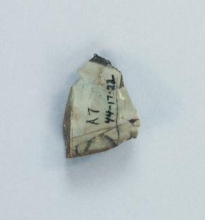
- square 11z, same location as 44-17-22[1]
- surface[9]
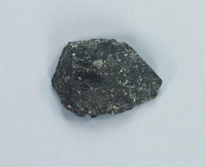
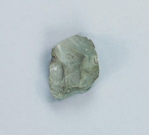
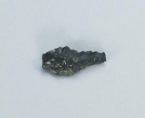
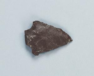
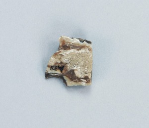
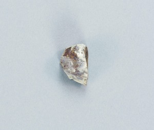
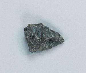
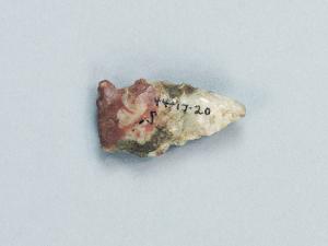
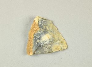
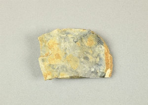
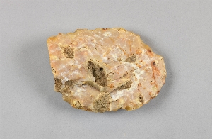
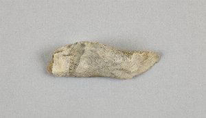
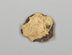
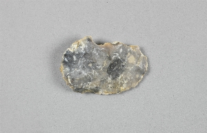
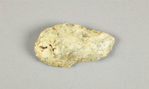
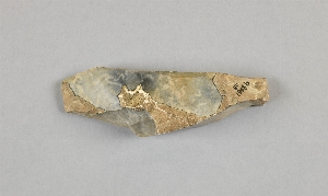
- flint[86]
1 - 30 of 86 Records
1 - 30 of 86 Records